Number of Ponds
The Assam State Space Application Centre (ASSAC) in Guwahati was originally known as the Assam Remote Sensing Application Centre (ARSAC), a division of the Assam Science Technology and Environment Council (ASTEC). It was established in 1988 and focused on Remote Sensing (RS) and Geographic Information System (GIS) applications. Its main objectives were to develop remote sensing techniques for natural resource management, provide training and consultancy in remote sensing, and collaborate with the Indian Space Research Organisation (ISRO) on various national missions. In March 2018, the government declared ARSAC as the Nodal Agency for all RS, GIS, and GPS-related work in Assam, including the procurement and supply of satellite data. It also became the centralized location for storing, analyzing, and supplying spatial data to government departments. In July 2021, the Assam State Space Application Centre (ASSAC) was established as a separate entity under the Societies Registration Act, 1860. ASSAC currently maintains a repository of geospatial databases, including cadastral information, administrative boundaries, and natural resources data derived from satellite RS and GIS technology. It is working on a strategy to share these databases with both state and central government departments for geospatial services. ASSAC's mission is to provide technical support and decision support systems to assist various Assam government departments in their geospatial activities and daily operations. The Remote Sensing Division (formerly ARSAC) primarily aims to develop RS techniques for natural resource management, offer training and services to user agencies, collaborate on national missions with ISRO, and generate resource information in both spatial and non-spatial forms using RS and GIS technologies
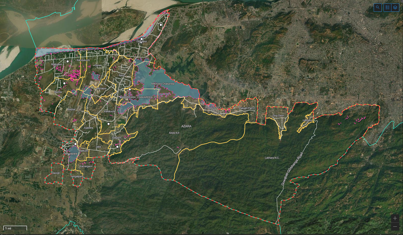
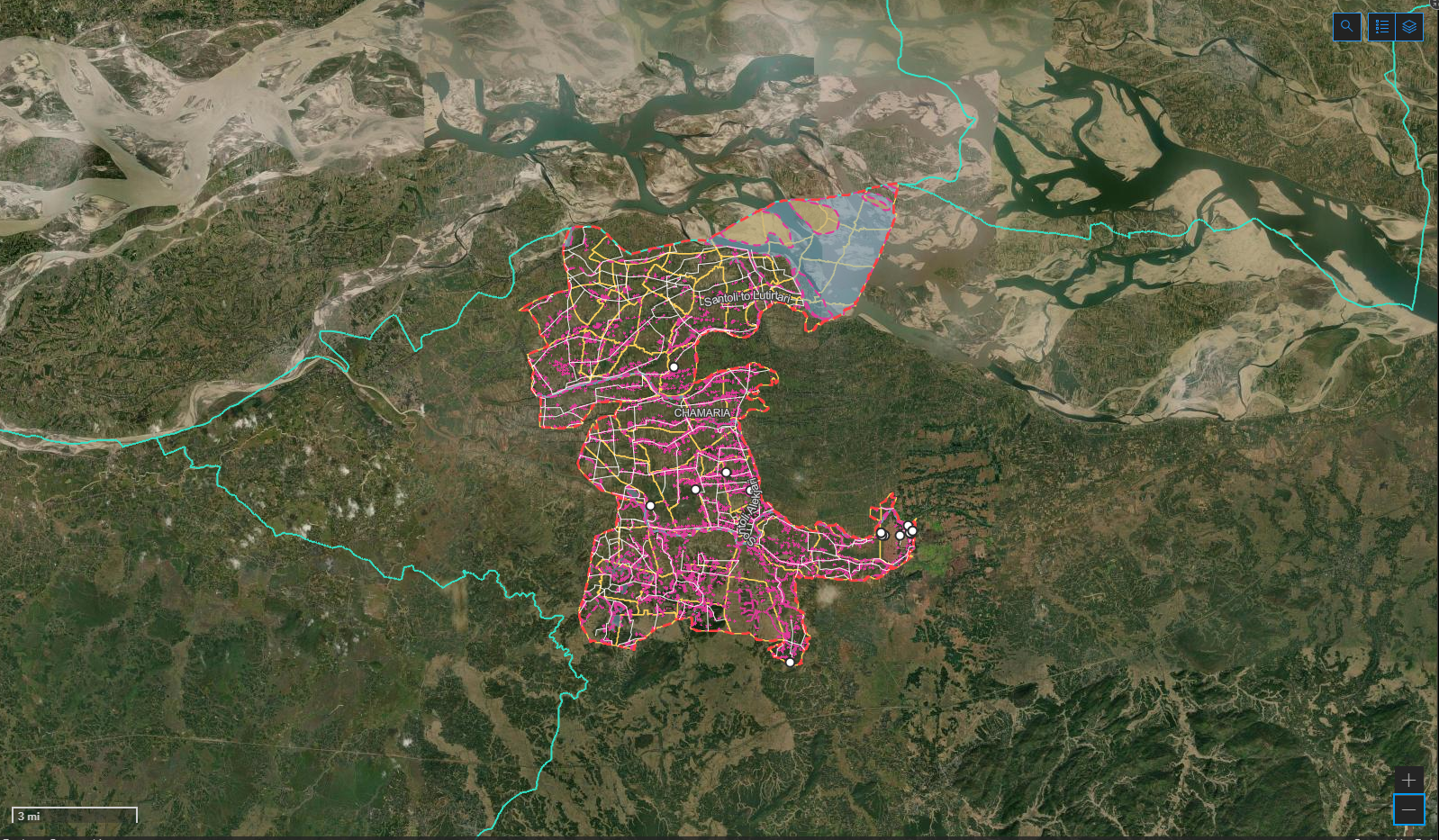
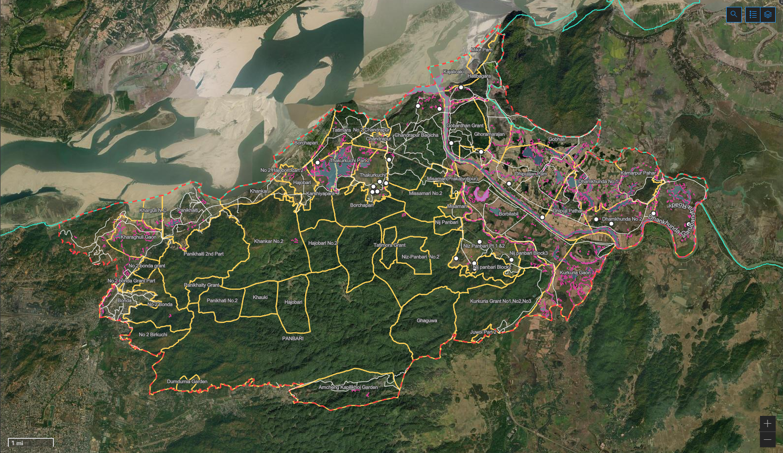
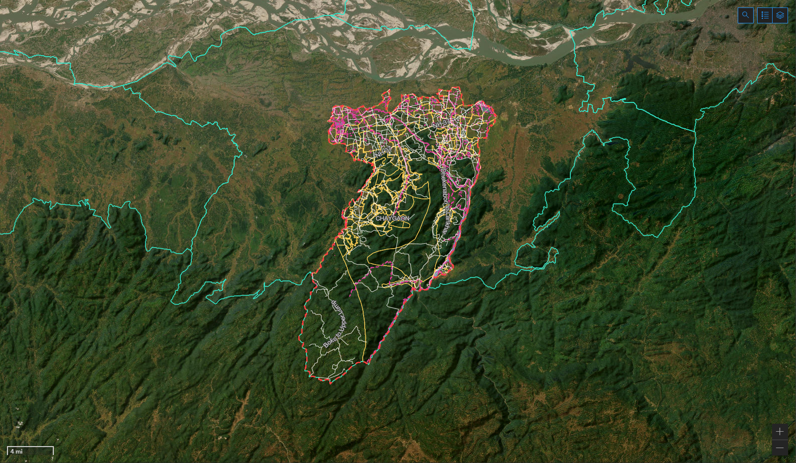
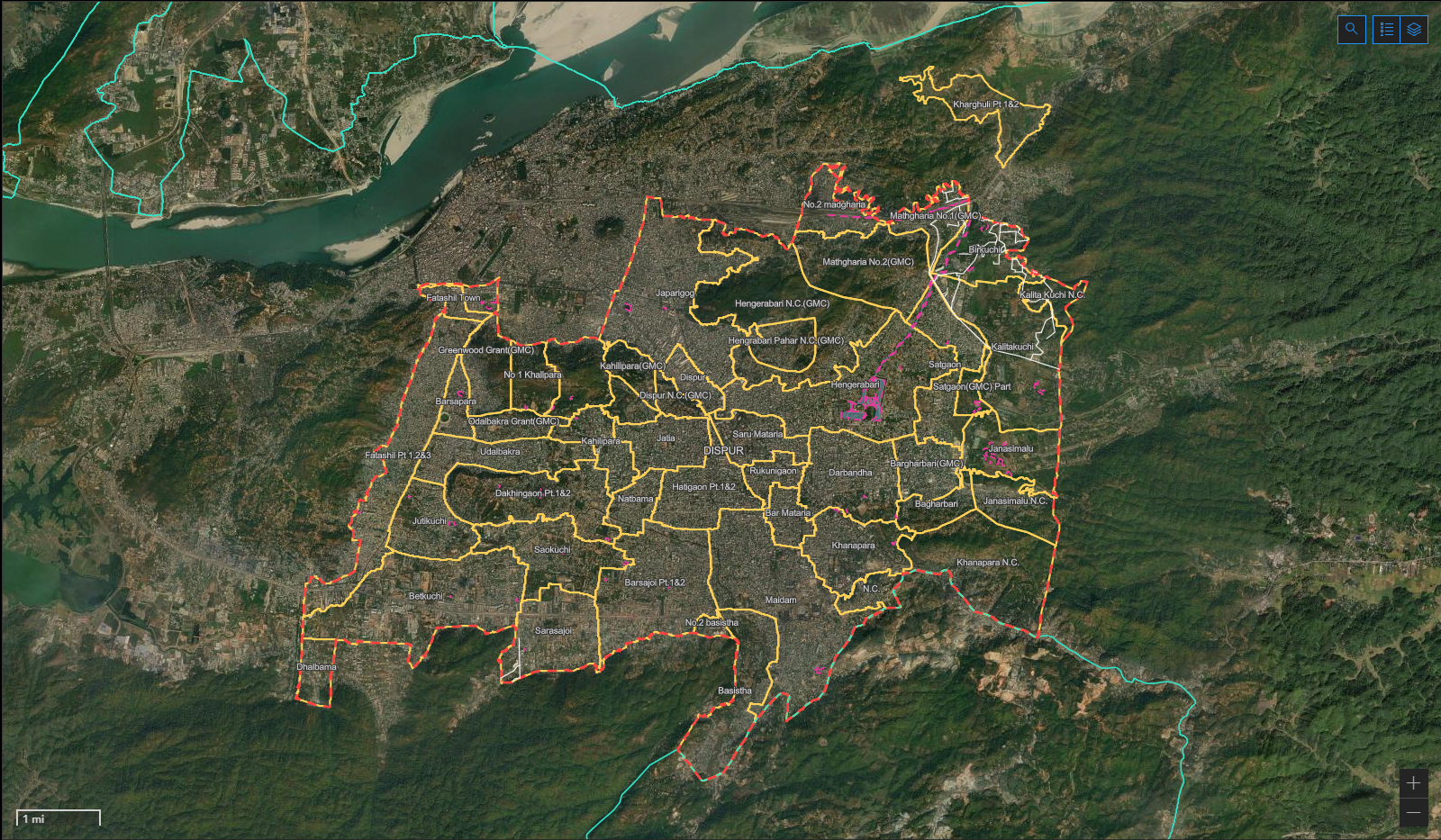
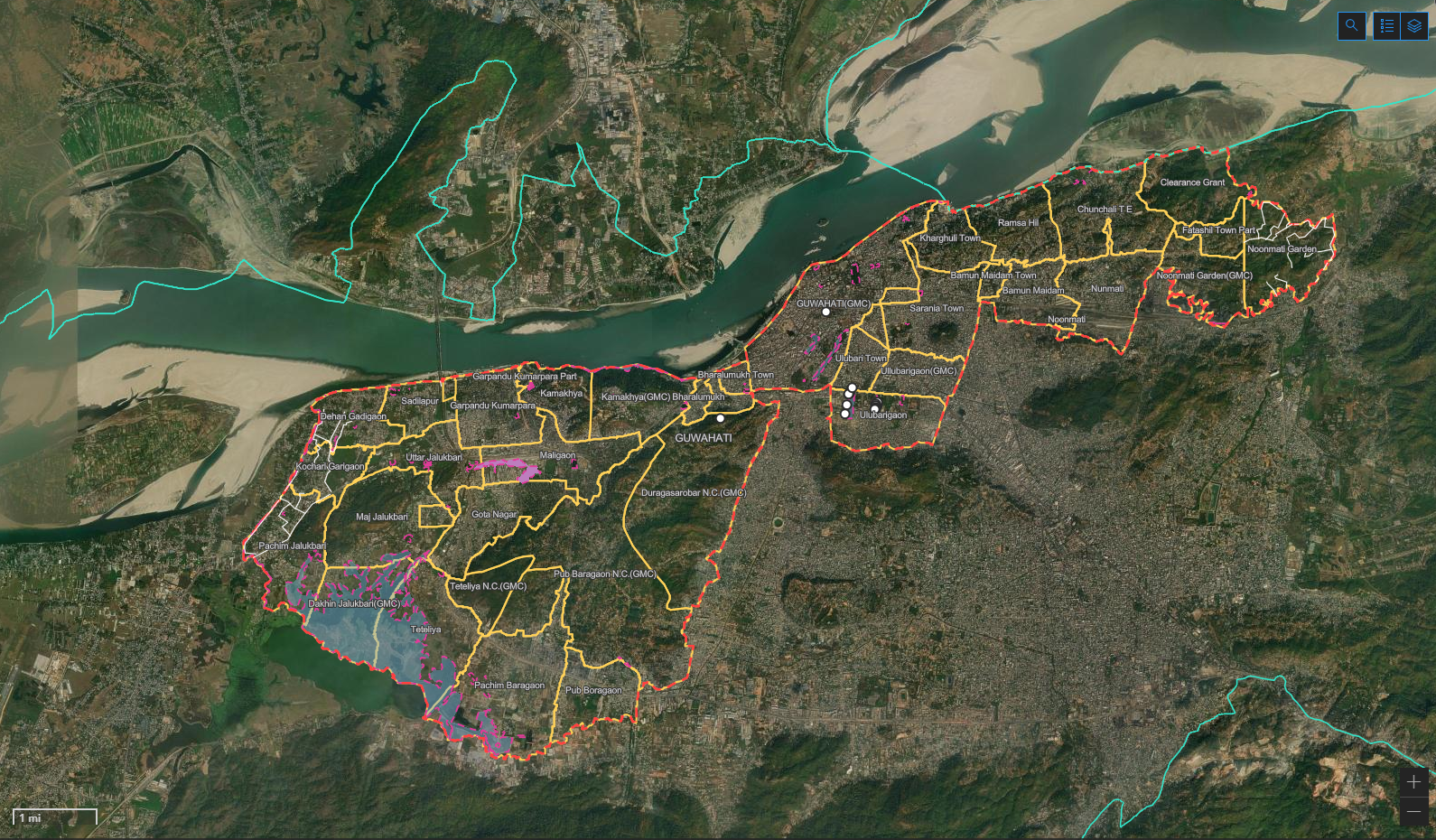
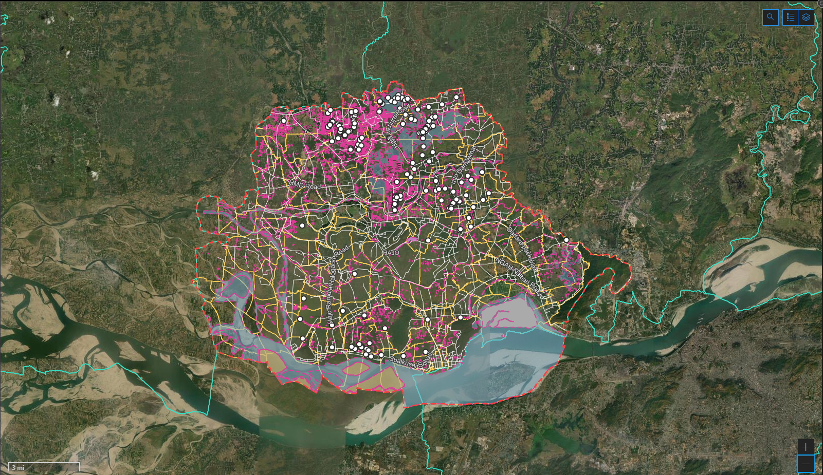
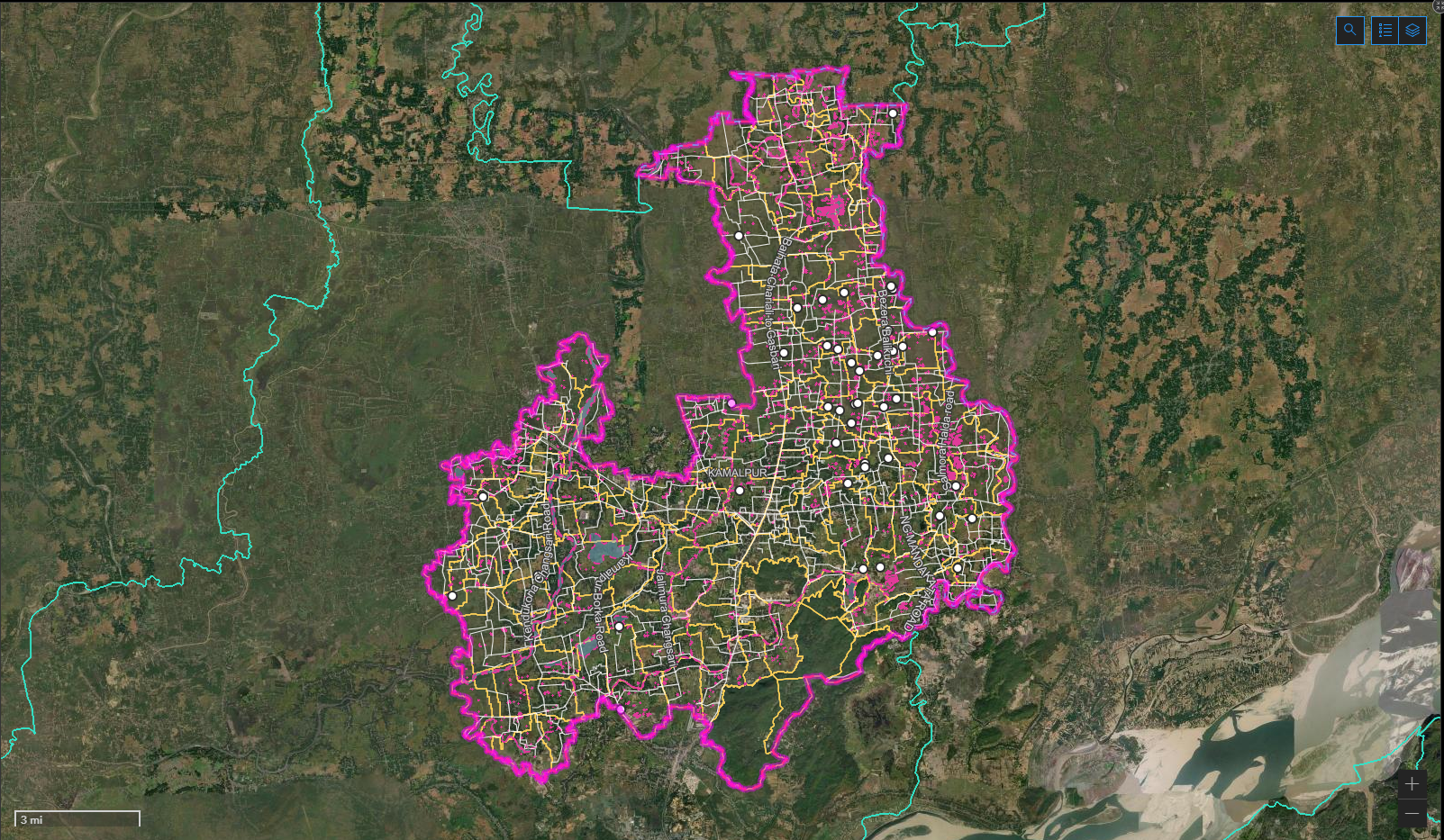
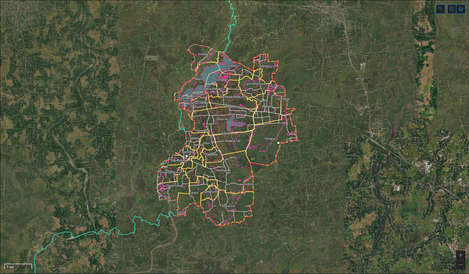
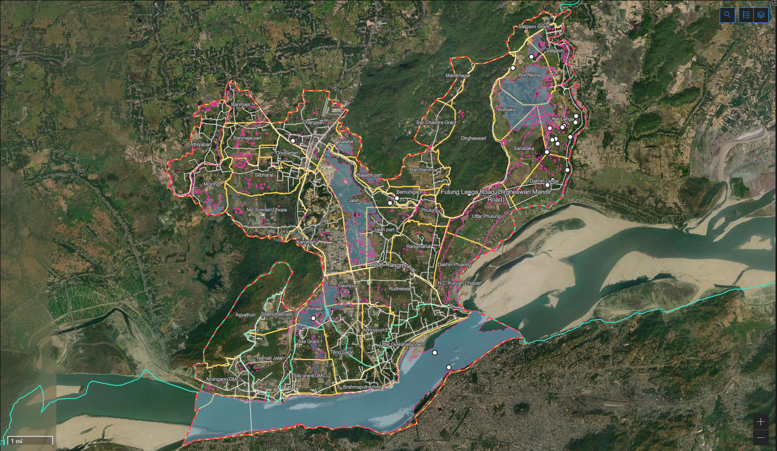
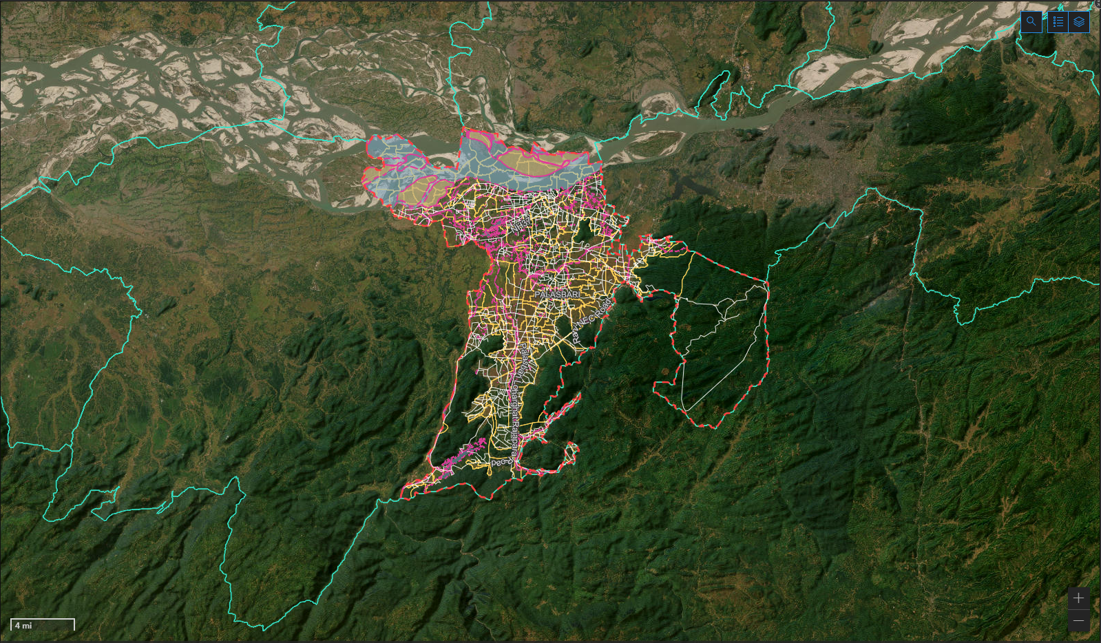
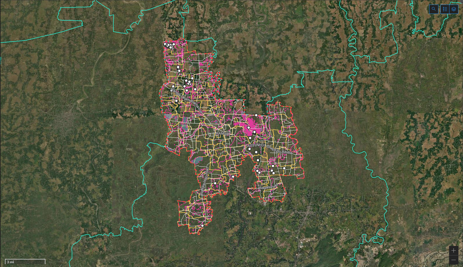
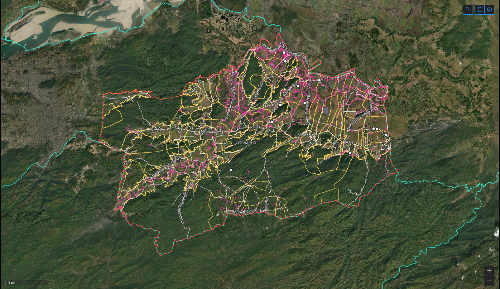
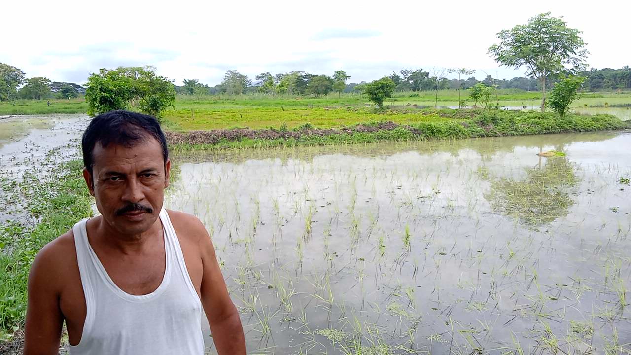
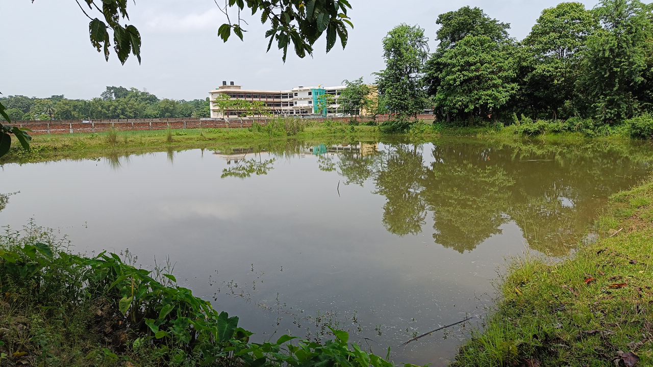
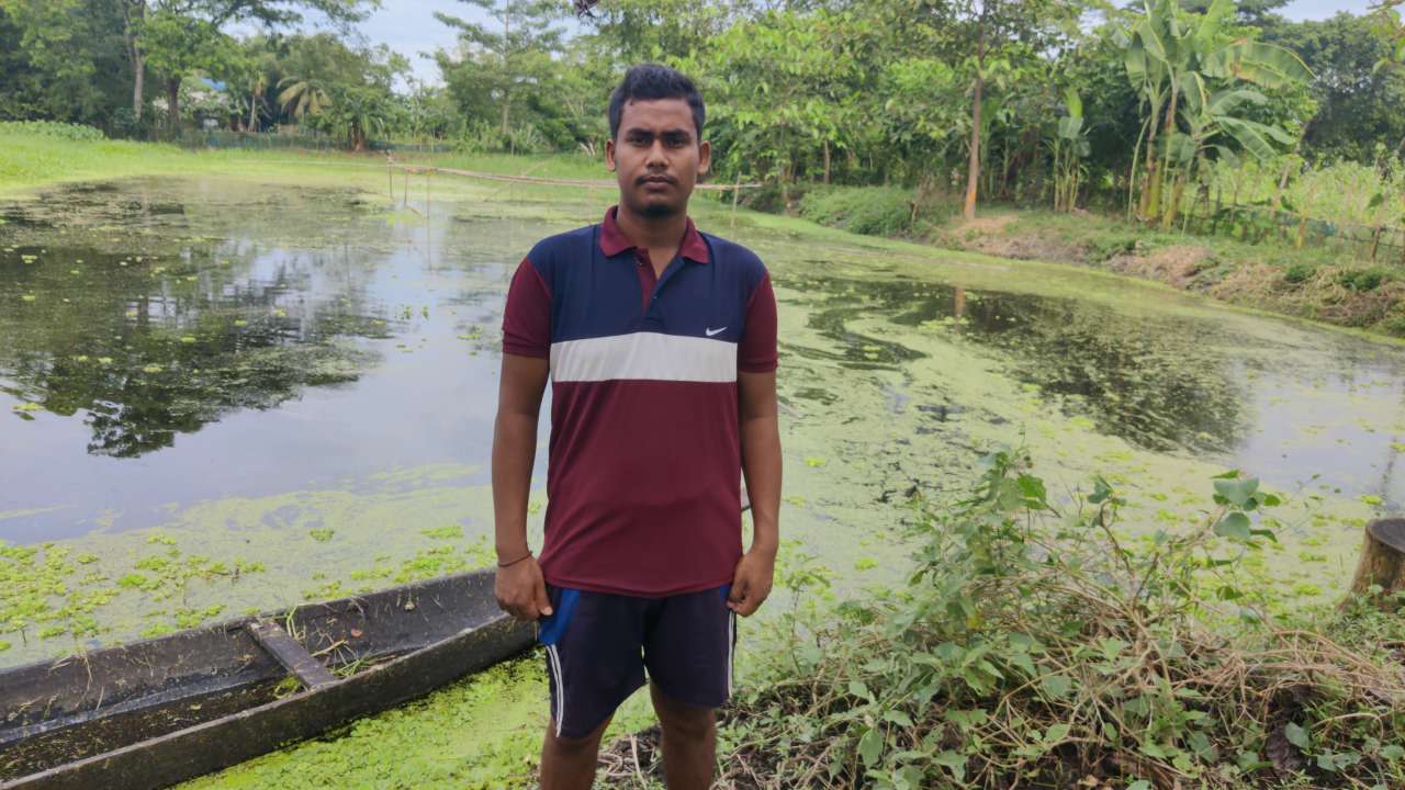
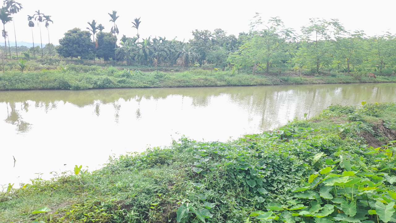
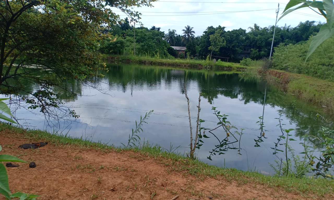
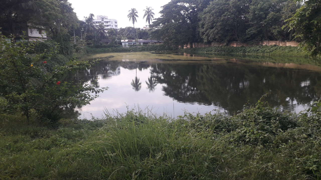
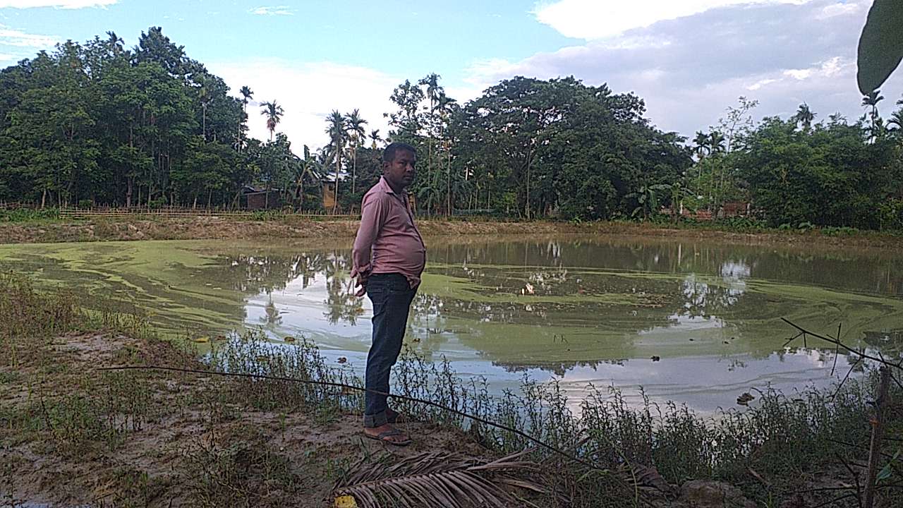
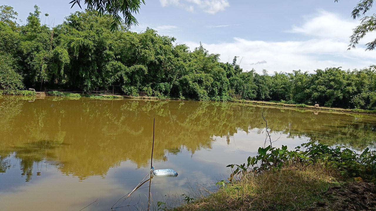
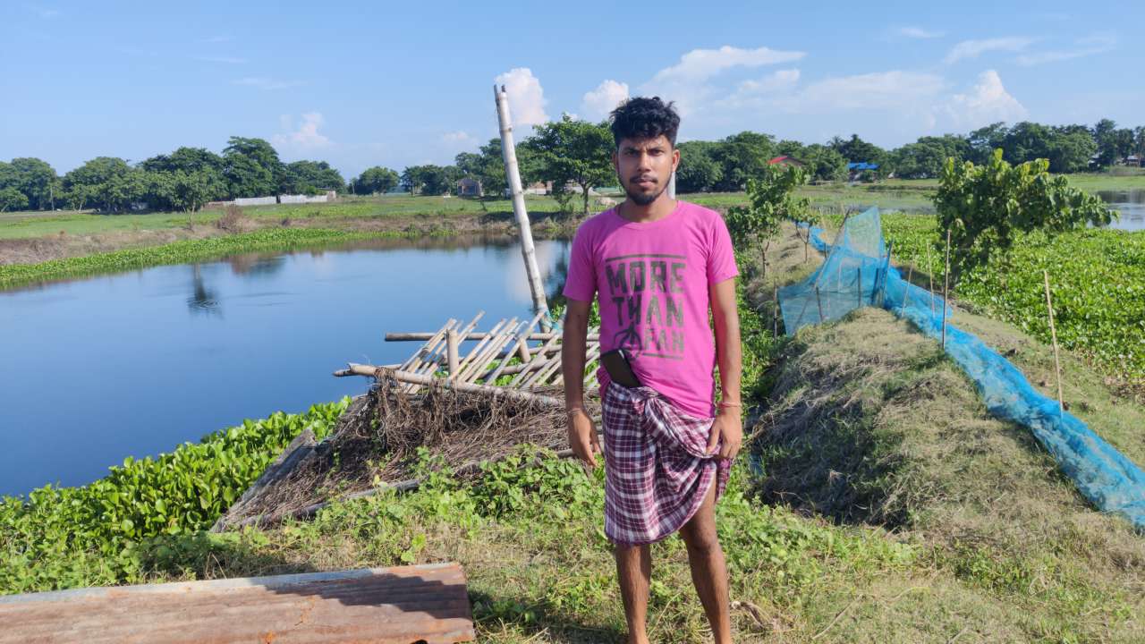
The project titled "Application of Geospatial Technology for Mapping and Identification of Fishery Resources in Kamrup District" was sponsored by the Department of Fisheries, Assam, with the primary aim of creating a detailed spatial database using remote sensing and GIS technologies. This database focuses on aquatic habitats, such as rivers, ponds, wetlands, and reservoirs, to visualize the distribution of fishery resources for conservation and management purposes. In the 9th meeting of the NESAC Society in January 2021, it was proposed to expand the use of geospatial technology in various sectors across North East India to enhance regional infrastructure and sectoral development. This initiative, known as the "Plan of Action (PoA)," was led by the Honourable Home Minister, Shri. Amit Shah. The project commenced on May 24, 2022, with the signing of terms of reference between the Department of Fisheries and the Assam State Space Application Centre. It relies on advanced GIS and remote sensing technology, utilizing high-resolution Maxar and Airbus satellite data from the "Google Hybrid" platform and medium-resolution LISS-IV data from NRSC. The mapping was done at a 1:800 scale, and a total of 34,025 fisheries were mapped in Kamrup district. Kamrup Rural district had the majority of mapped fisheries, contributing significantly to the state's revenue generation through pisciculture activities. The analysis indicated that the highest concentration of fisheries was found in specific revenue circles of Kamrup (R) district, including Chamaria, Goroimari, Hajo, and Kamalpur. In contrast, Kamrup Metro district had fewer mapped fisheries, with Chandrapur circle having the highest concentration. This project is groundbreaking in terms of mapping scale and accuracy in Assam, and the mapped data can be linked with socio-economic parameters for the benefit of relevant departments and organizations in the future.
View the GIS Layer by clicking on it